
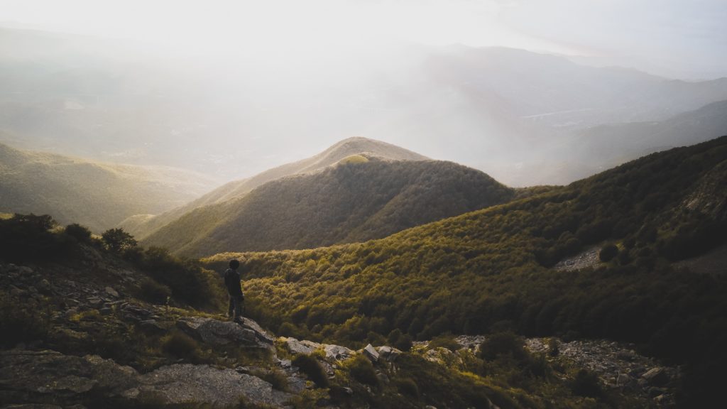
WOLF CREST - APPENNINO TOSCO EMILIANO
DISTANCE
68KM
DIFFICULTY (1-10)
7
DAYS
4
TOTAL ASCENT
3,340KM
HIGH POINT
1861m
TREKKER
Pietro Ienca
Luigi Chiurchi
The Apennines rising between the Tuscan sea and the Emilia plains breathe the airs of Europe and those of the Mediterranean.
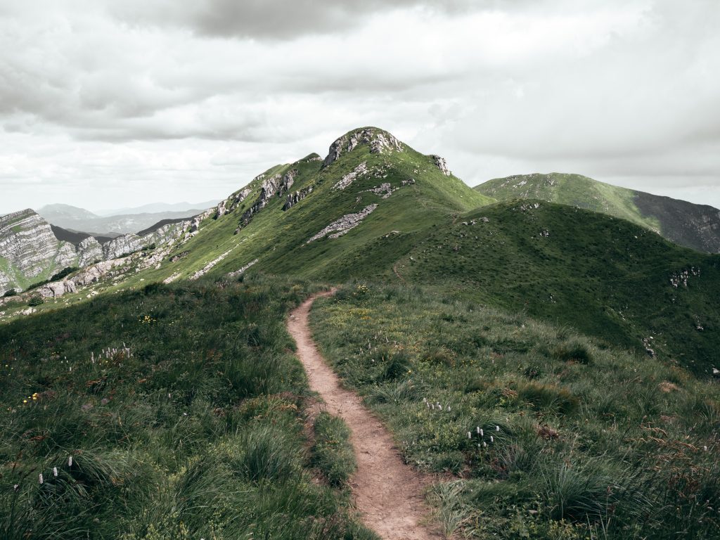
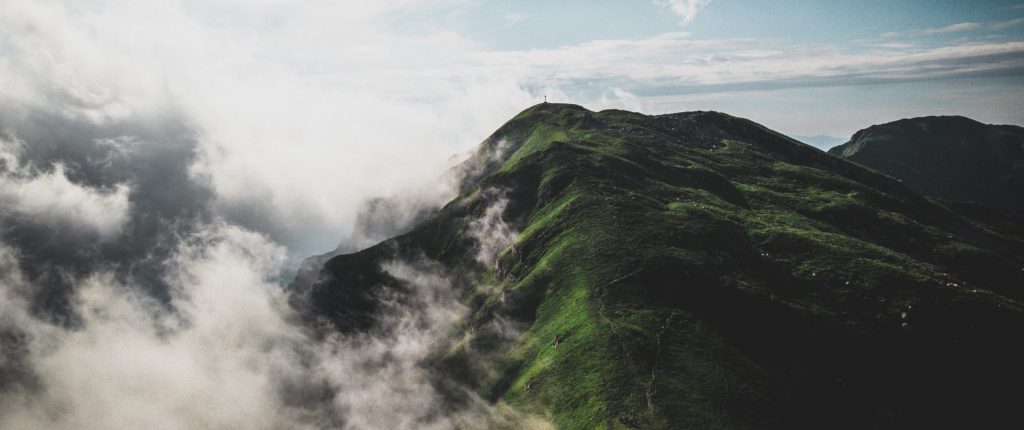
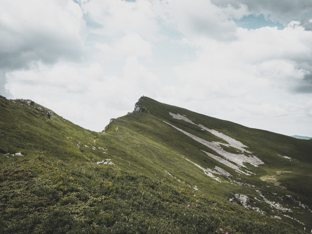
The ridge runs along the 2000 meter line.
It is a path, suspended between two worlds that in the 4 seasons change, overturn and regenerate colors, emotions, perfumes and perspectives.
Here a large part of Italian biodiversity is concentrated, favored by the contiguity of the European and Mediterranean climate zones.
Today, more and more tourists and hikers, with boots, with sticks, with snowshoes or crampons, with skis and bicycles. Everyone can choose the way to explore this world, always inhabited and lived in close contact with nature and the seasons that dictate a different agenda every day.
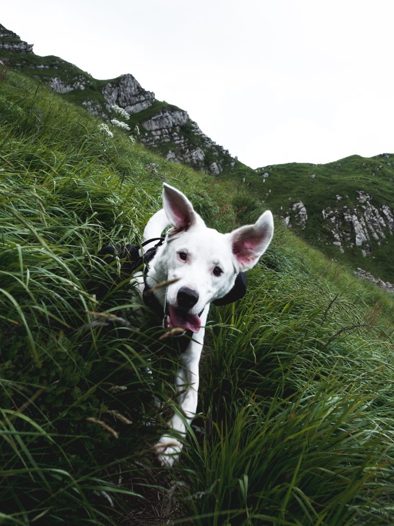
The territory of the National Park includes a great variety of environments that allows many animal species to find the right conditions to live and reproduce. Part of the charm of mountain animals lies in their ability to live in difficult, often extreme conditions. Winter frost, food shortages, lashing wind and strong solar radiation are addressed through appropriate adaptation strategies. Thus, every environment of the Park, if carefully observed, reveals a great wealth of animal forms. A wonderful abundance of species that often turns out invisible to those who do not approach it with patience and respect.


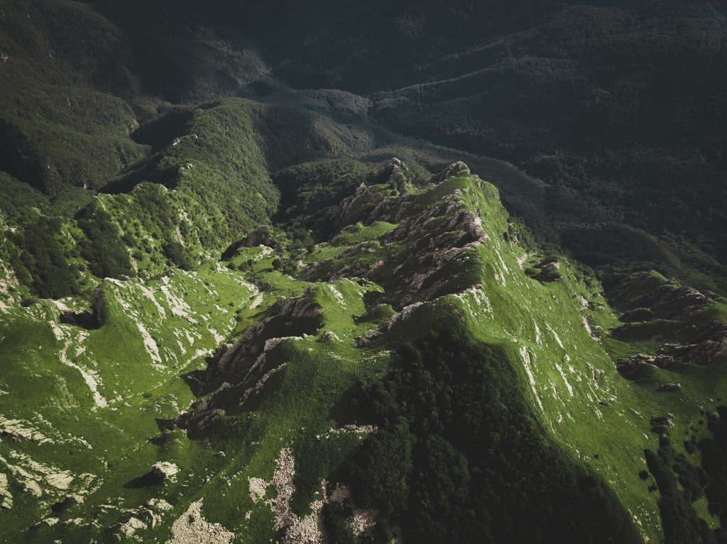
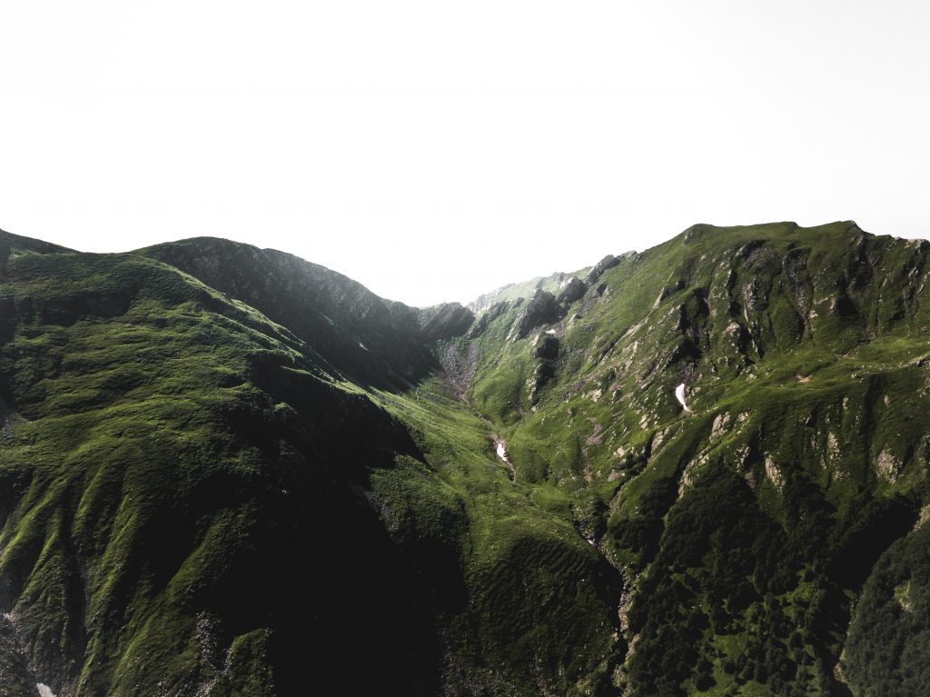
The morphology formed by poorly marked peaks and wavy spurs, which contrast with the sharp spiers of the Apuan Alps, is the result of morphogenetic processes on a prevalent substrate in sandstone and limestone, in which different formations emerge, such as Gessi del Triassico, Ophiolites of the Jurassic and the Torbidites of the Cretaceous. A further peculiarity is given by the testimonies of the glaciations of the Quaternary, especially in the northern slopes, the coldest ones, from glacial valleys to circuses, from morainic deposits to lakes and peat bogs.
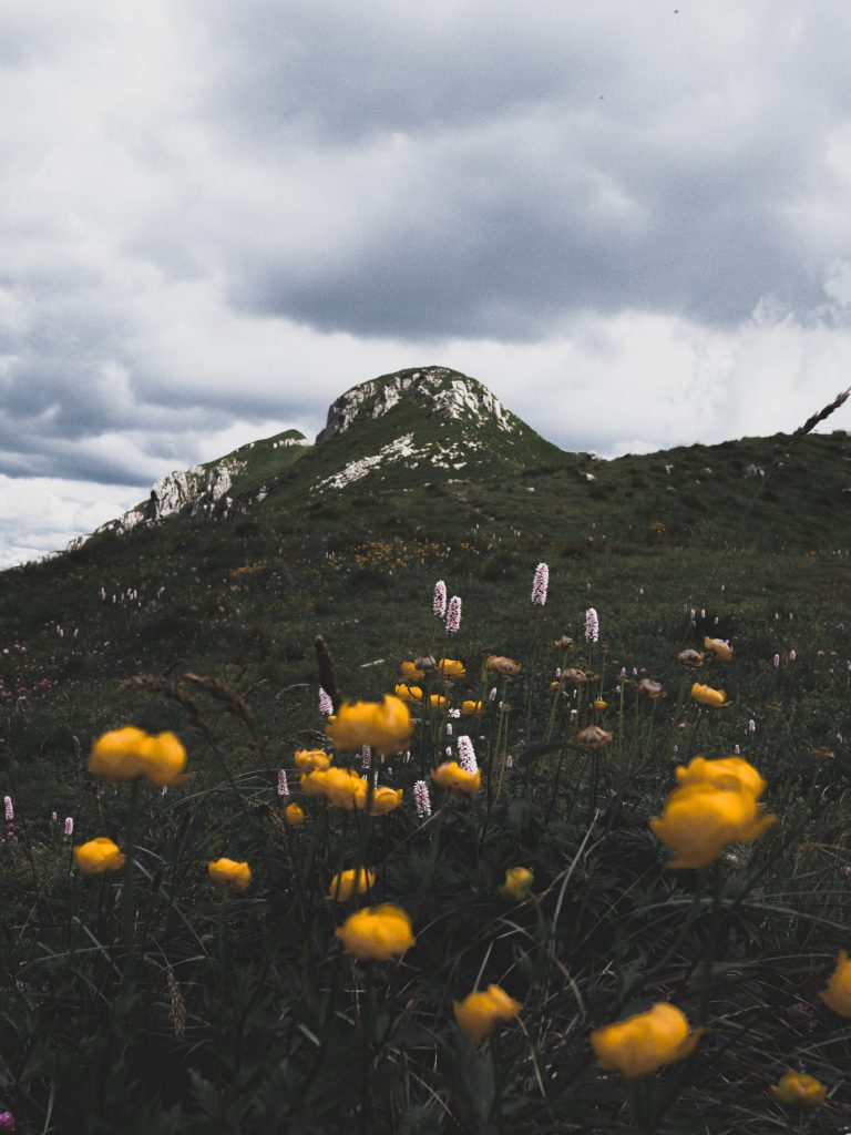
The peaks of Monte Prado, Monte Cusna and Alpe di Succiso, which exceed 2000 m in altitude, as well as the highest ridge lines are characterized by the landscape of the prairies, where expanses of nardis, rushes of the ridges, anemones narcissines , alpine asters and purple gentians, are dotted with rocky outcrops with a characteristic herbaceous flora, more similar to the alpine one and enriched by rarity and endemism.
Going down, you meet the moors, which anticipate the band of forests, once less widespread as they were burned by shepherds to encourage the growth of grasslands useful for grazing. The most common species are blueberry, cranberry, rowan, rhododendron and some important glacial relicts such as the bacciniferous heather.
The woods cover the Apennine slopes up to about 1700 m. Up to 1000 m there are oaks and oaks oaks, with chestnut areas for the original use of the coppice, while above this altitude there are the forests of beech and fir. These woods have been exploited for centuries by man for the production of timber, often excessive and which has led to some reforestation operations, especially in the Tuscan side, to spruce and fir: the most ancient case is that of the famous Abetina Reale of the Este. Moreover, if in the past the wooded area contracted to make room for pastures and cultivations, today we are witnessing an inversion of tendency due to the progressive abandonment of agricultural activity and pastoralism, for which we find expanses of bushes re-colonizing the lands abandoned by man.
Where the slopes become sweeter, the agricultural landscape opens up. Towards Emilia Romagna, the embroidered fields on the hills are aimed at breeding cattle and, therefore, the production of Parmigiano Reggiano, characteristic of these lands. Among the countless foragers, which in summer are decorated with typical hay bales, some fields are cultivated with cereals, such as wheat, maize and barley. On the Tyrrhenian side, on the often terraced slopes, are cultivated mainly olive trees and vines for the production of oil and wine.
As for the infrastructural elements, in addition to the ancient mule tracks and the paved paths, many of the streets that cross the Park also have a historical landscape: these are traces that have marked the landscape of these territories for centuries, since the merchants, the pilgrims and also the brigands passed from the Po valley to the Tyrrhenian one and vice versa, through the Passi del Lagastrello, del Cerreto and Pradarena.
Even the small villages, perched on the heights or lying at the foot of the mountains, are a fundamental element of the image of the Park, where the few settlements of a certain extension are located only perimeter, where the morphology of the territory allows it. Protected by the remains of the medieval walls and fortresses, these inhabited populations stand out among the woods, accompanied by a crown of cultivated fields and signaled in the distance by the emergence of the bell tower of the village church.
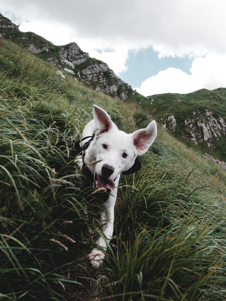
- One of the mountain areas with the highest density of wolves in Italy, this does not mean that it will be easy to see them
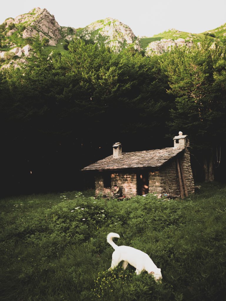
- The extraordinary little ”Bivacco” Tifoni, where you can sleep in one of the most beautiful valley of Tuscanian side
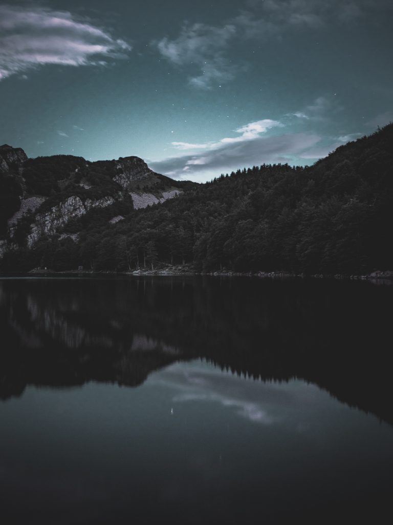
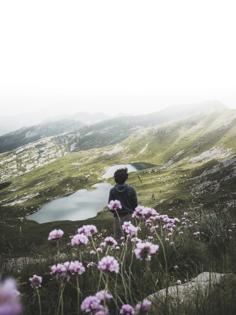
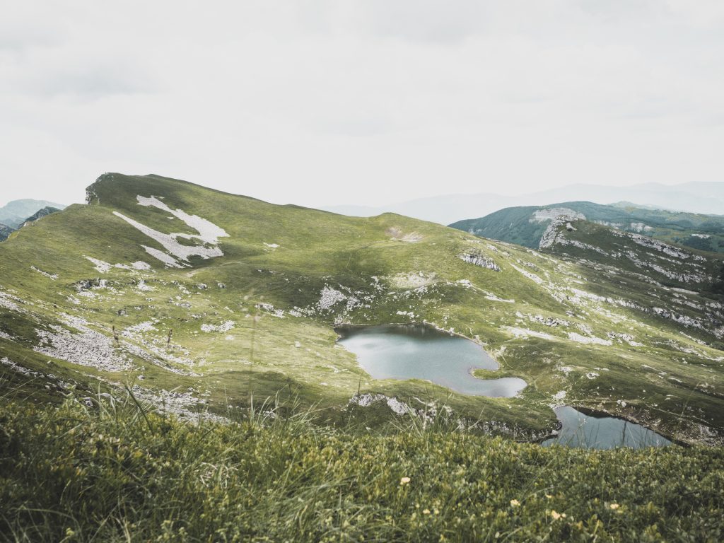
- The Old Glacial Lake Santo Parmense on the Emilian side of the ridge.
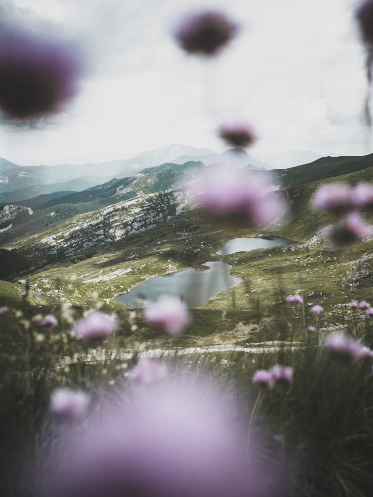
- The incredible numerous lakes near the ridge, you can’t miss Sillara Lakes.
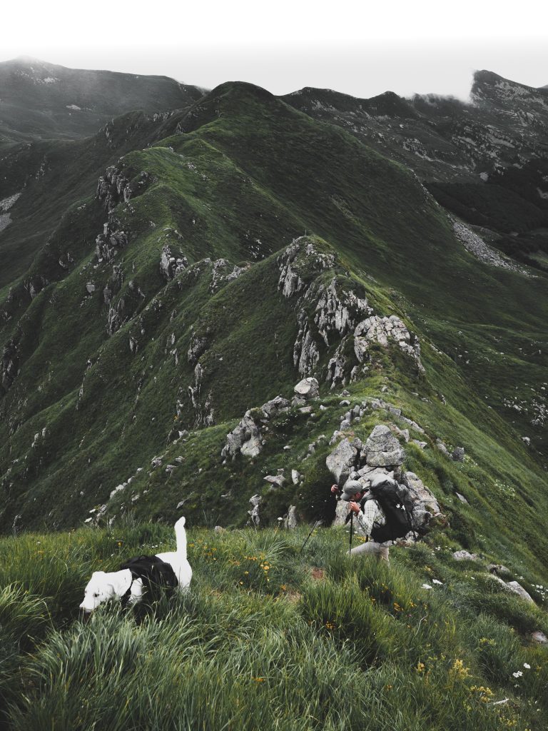
- Very Difficult but Scenic Ridge, we call it Far Oer of Emilia Romagna. From Cima Canuti to Cima Malpasso. Not for everyone
-
The unique view that accompanies you in many parts of the itinerary, the Mediterranean sea on one side and the Padana Flat on the other side. SEE TO BELIEVE
- To facilitate the return by Train once the route has been completed, the track starts from Pontremoli and ends at Fivizzano, whatever the direction of travel chosen.
- There is only 1 road cross along the trail, Lagastrello Pass, so that the Wolf Crest best way not traveled partially, there are not many villages along the route.
- The best time to tackle this route is from June to September. Some mountain section can be snowy in the other months.
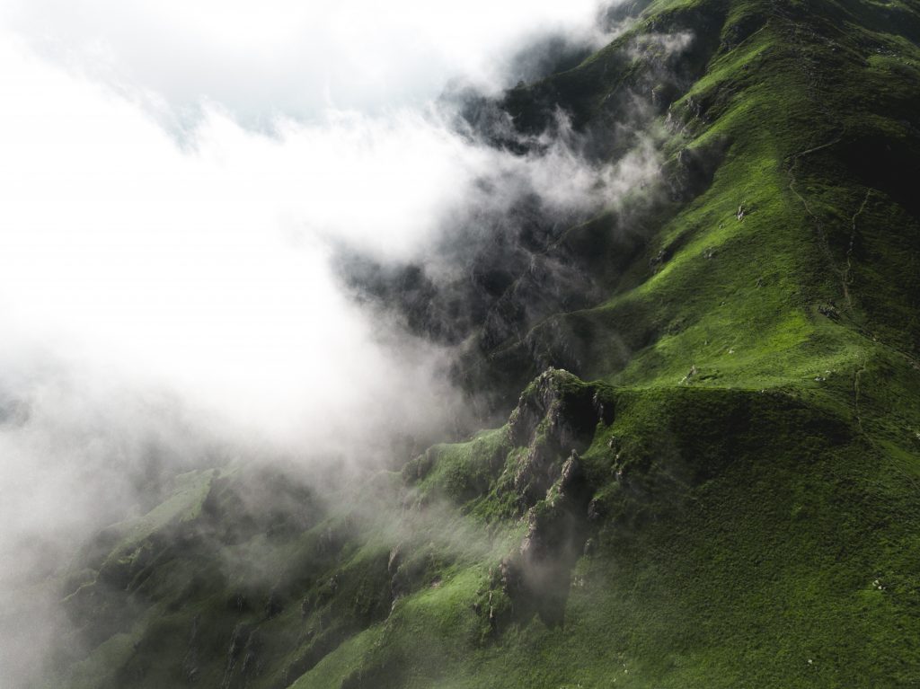
- Bring some mountain clothing, as there can be rapid changes in weather and sudden temperature drops at high altitudes, during the summer months too.
- The Wolf Crest Trail can start from Pontremoli towards Fivizzano or from the opposite direction.
- The route sometimes IS NOT marked, Follow GEA in the ridge. GPS is raccomanded.
- Vipera Aspis snake in this area is quite frequent, look carefully at the ground when walking.
-
Is Forbidden to light fires in the National Park Area, Respect Nature!
- Bivacco Tifoni it’s a great place to spend the first night . Leaving clean and a small donation for maintenance.
- The 2nd day discover the ridge, is Forbidden and dangerous to camp in this area of the Park.
- You can’t miss Rifugio Mariotti for he 2nd night. Call the Rifugio before, Marcello will help you!
-
There are two possibilities for the 3rd night, itinerary stops first and lengthens it by 1 day. Rifugio Prato Spilla is the shortest way
-
The second possibility is to continue and arrive at the Rifugio ”Città di Sarzana”, close to glacial lake of Monte Acuto.
-
The following day depending on where you slept you can get to Favizzano or having to bivouac (sunrise / sunset) on the edge of the park or to the Sorgenti del Secchia.
- IN CASE OF PROBLEM YOU CAN ALSO REACH CERRETO PASS or sleep in Bivacco Ghiaccioni.
- It is advisable to bring with you a gas burner, some sachets of freeze-dried food and the correct equipment (shoes, wind jacket, sleeping bag, chopsticks)
- Chocolate, bread, Parmigiano Reggiano and sausages could be important elements for a daily snack.
- LIFE STRAW water filter is strongly recommended for drinking in any situation from rivers
- A good supply of 2 liters of water per person is always recommended. From Pontremoli to the Tifoni refuge you will find water only in Arzengio. At the ”Bivacco Tifoni” you can almost always found water.You will not find water on the ridges, you will always have to go downhill. At Lago Santo you can find water and then in the direction of Laghi del Sillara you will find the Fontana del Vescovo. Refill the water bottles well. Also at the Rifugio Sarzana a spring will allow you to refuel water
- SITE PARK: https://www.lifestraw.com
- GEAR: https://www.marmot.com
- WATER FILTER: https://www.lifestraw.com
- BOOTS: http://www.trezeta.com/
- BACKPACKS: https://eu.gregorypacks.com/it-it/
- FOOD: https://www.outdoorfood.com
- GEAR FOOD: http://www.gsioutdoors.com